RSS

Old Woman Wash

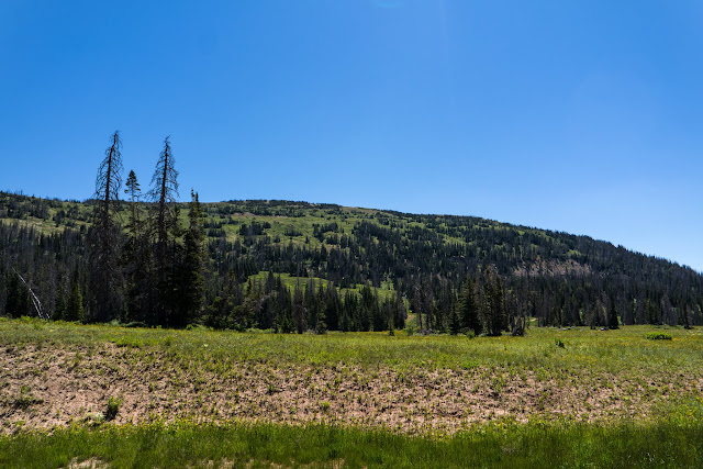
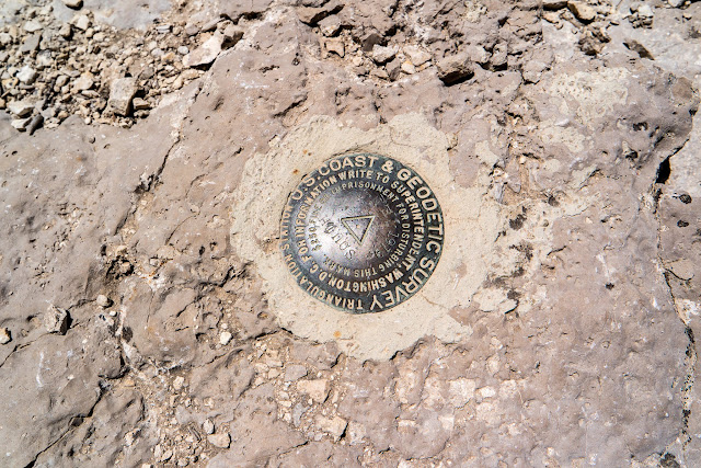
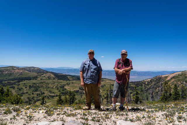
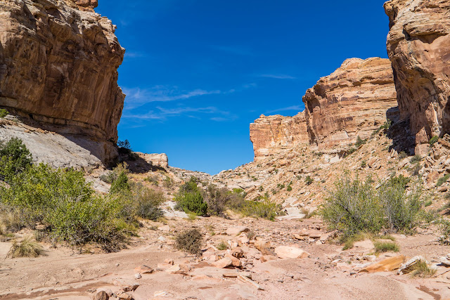
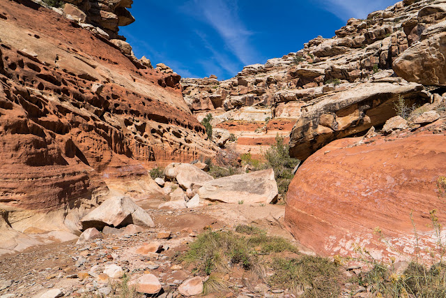
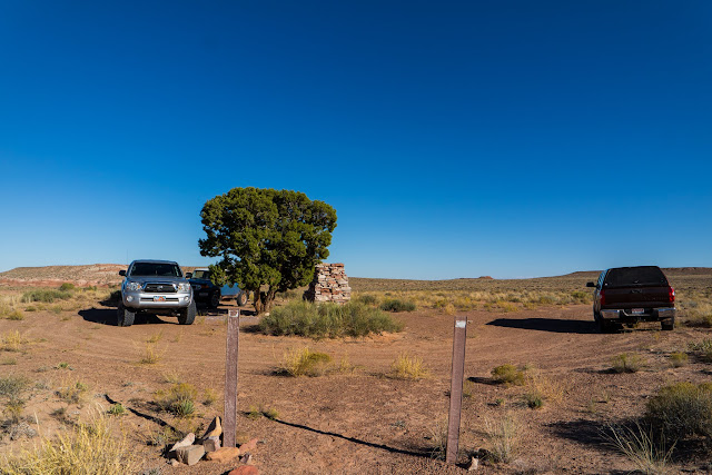
On Saturday, Dad and I went on hike to Old Woman Wash in the San Rafael Reef. To find a geocache that had sat since 2012 with only one find. I came across Udink’s trip report and he had hiked to some nearby pictographs that looked nice. He didn’t post exactly where the writings were but it gave me a general idea of where to start. We arrived at the trail head at 10:30 and began hiking. Instead of going up Old Woman Wash, we backtracked a ways to an old mining road that lead us into the reef.

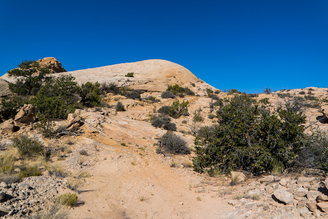
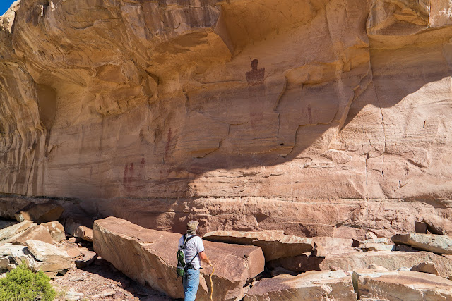
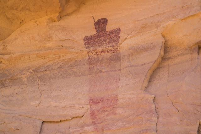
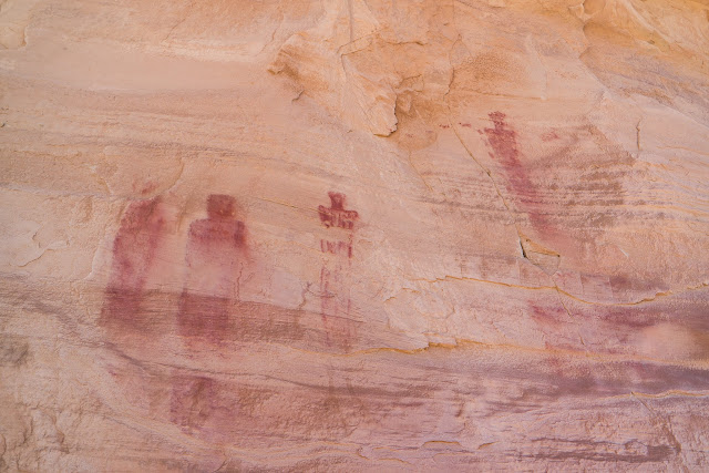
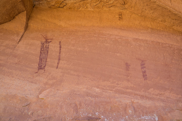
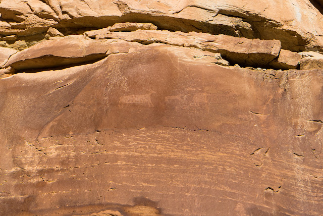
Once we crested the hill, I knew the writings were somewhere in the valley. So we started scanning the cliffs and was able to spot the Ekker Panel. It was a neat panel with some faded pictographs and a few petroglyphs.

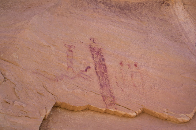
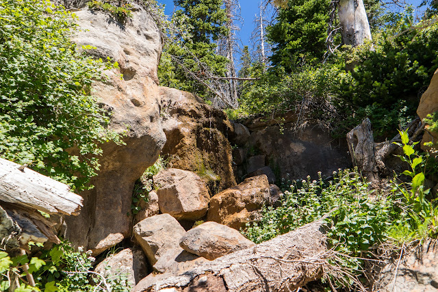
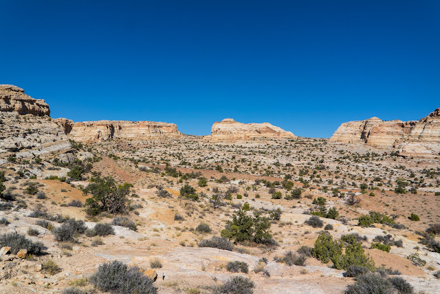
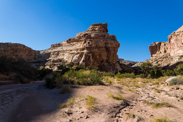
We then followed a side canyon that lead us down into Old Woman Wash. Here again I knew there was some petroglyphs in this side canyon, so I Kept my eyes open and I did happen to spot them, only after passing them.

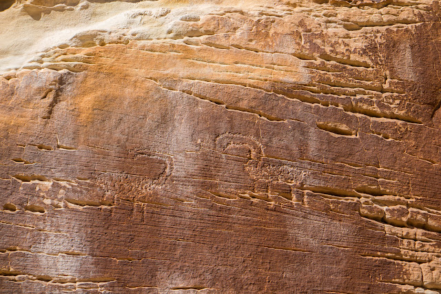
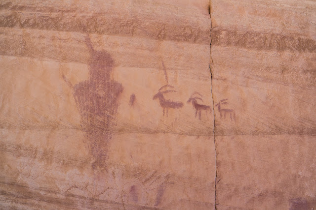
Once in Old Woman Wash, I was able to spot another panel, High Alcove.

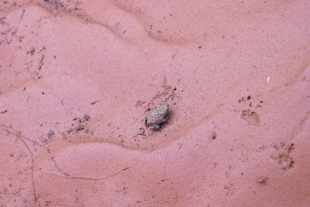
We then continued on up the canyon towards the geocache. There was a lot of water in the canyon today and a lot of little frogs. Every time we would stop we would be able to spot a few frogs hopping away.

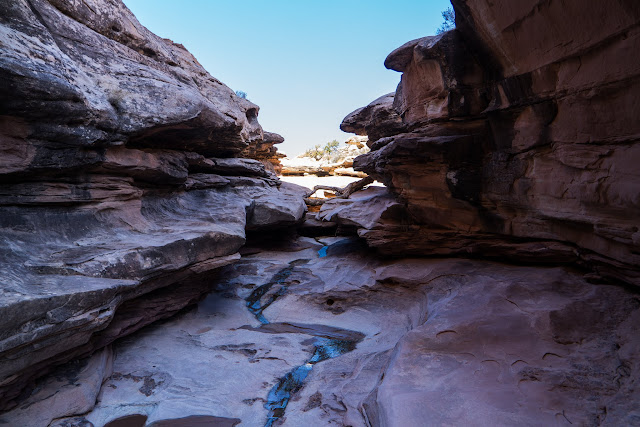
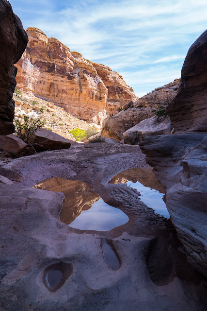
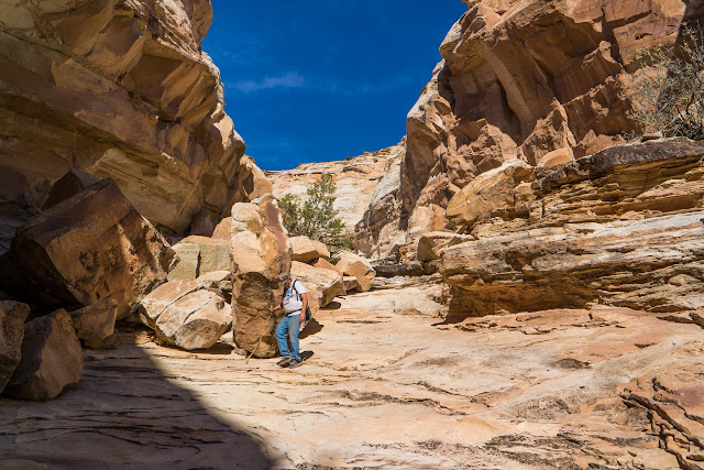
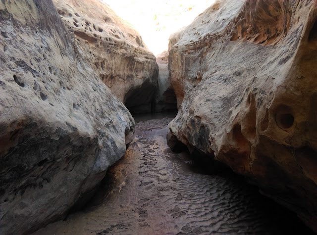
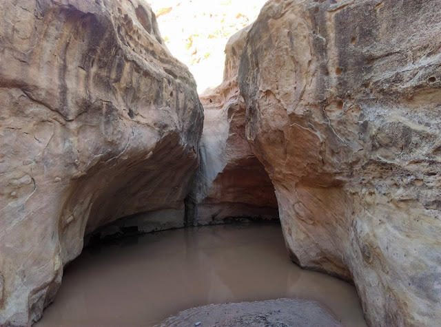
We finally were nearing the end of our hike when we came to pool and a boulder obstacle to get around. Trying not to get wet we had to cling to the walls to get around the pool, almost falling into the water, and then the climb over the boulder wasn’t too bad. Due to the water I left my larger camera back but took a few photos with my cell phone. After finding the geocache, we continued up the canyon until it ended at a large dryfall.

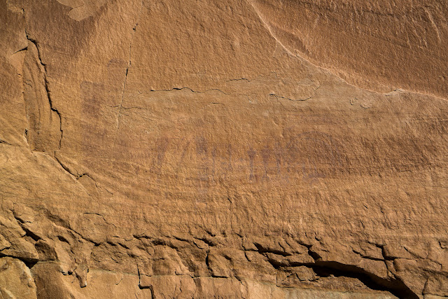
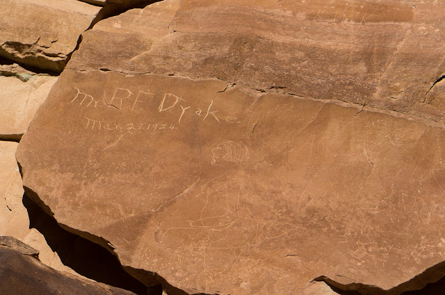
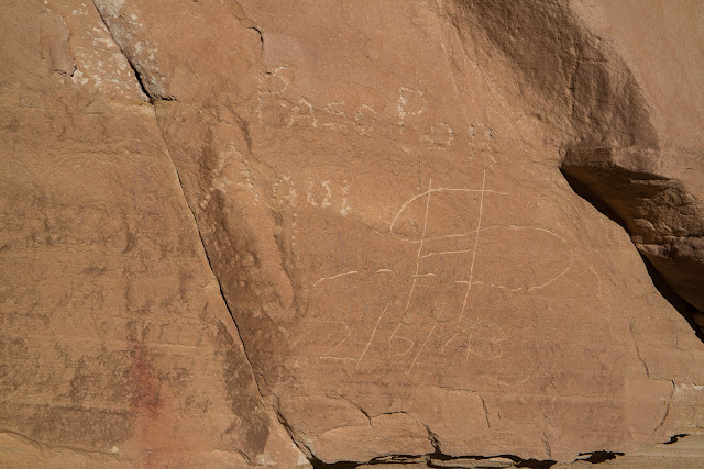
The hike back out seemed to go more smoothly then our hike in and we was able to reach the side canyon we entered in good time. We then began to look for another rock art panel and was able to find this one as well. The problem was it was in direct sunlight and washed these faded pictographs out. There were even some old names carved into the walls nearby.

It was then about another mile back to the truck. Halfway out, we ran into three other hikers going to see the writings. The stroll out was an easy sandy wash bottom back to the truck.

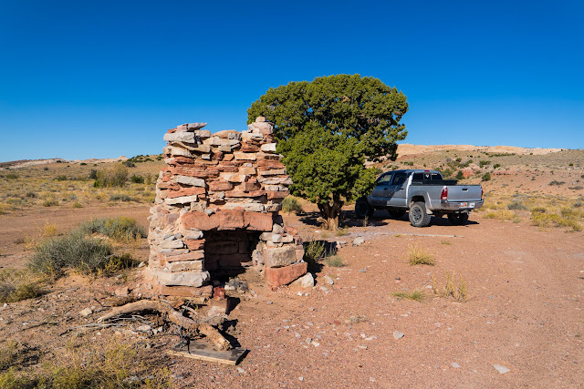
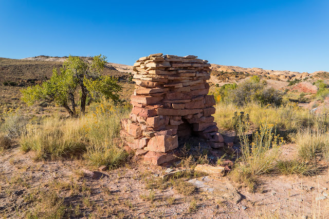
After getting back around 4:30 we followed the road South as it paralleled the reef. We made it a short ways until we came across a washout. We didn’t feel like doing any digging so we backtracked to Hwy 24 and headed home.

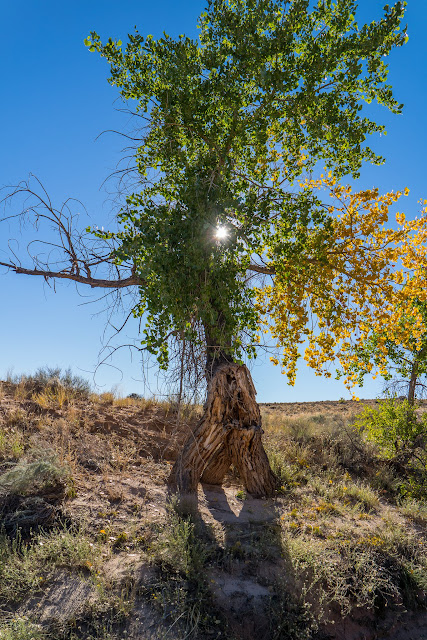
What a great day, I found all the Indian Writings that I went looking for and hiked up a nice canyon. The weather was perfect and the trees were starting to change colors. In total we hiked about six miles in six hours but we took our time enjoying the great scenery.

Photo Gallery: Old Woman Wash

GPS Track: Google Earth KML


Dead Horse Point

For the Labor Day Weekend I took Friday off and went down to Dead Horse Point. I was hoping to beat the crowds by going on Friday. I made it to the Moab area in good time and was happy with the lack of people. I have only been to Dead Horse Point once when I was too young to remember a whole lot about it. The view was great and hiked along the trails for a little while. After leaving DHP I went into Moab for lunch. I ate at Eddie McStiff’s. Once done with lunch the hoards of people were out in force. I decided to call it a day and head back home. I took the Colorado River road back to I-70 stopping at the Fisher Towers for a short break before heading home.

Monitor and Merrimac

Dead Horse Point

Fisher Tower

Photo Gallery

 
Leave a comment

Posted by on October 11, 2015 in Desert, Hiking, Outdoors


Archery Deer Hunt 2015

Back in August I went on an archery deer hunt. I headed out on the 15 and camped for 5 days. Dad bought a new camp trailer that he let me use for the hunt. The first day I ran across a big two point deer with some smaller bucks but they busted me quickly and ran off. Then a storm blew in and rained pretty heavy for the rest of the night. The next day I came across two large four point bucks but there were already some other hunters stalking them but they got busted and I never did come across those two again. While riding back to camp I started to round the corner and in the apex of the turn there was an old arrowhead. Dad went home so the rest of the week I was alone. During the rest of the week I kept driving by a small two point buck but passed on him in hopes of getting a look at the other large bucks. But finally on the day I was going to head home I saw the smaller deer and shot him. It was a 40 yd shoot that double lunged him with a clean pass through. I was happy.

Photo Gallery

 
Leave a comment

Posted by on October 11, 2015 in Archery, ATV, Camping, Hunting, Mountains, Outdoors


South Tent Mountain

On July 25, Dad and I climbed to the highest point in Sanpete County at 11,285 Ft. We drove past Joe’s Valley and up onto Skyline Drive finding a few geocaches along the way. We made it the base of the mountain and began hiking up.

There are two different routes people take. We could of either followed an old road up North Tent down the saddle and up onto South Tent or climb up to the saddle and over to South Tent. We decided to go the shorter route which was just up the saddle and then over to South Tent. While climbing up we passed some springs running down the mountain and we followed one up to where it came out of the ground. I took a drink from it and the water was cold and tasted awesome.

The hike up to the saddle was steep but after the saddle the rest of the climb wasn’t bad. The views were nice from up here. Once on top we signed the summit register and noticed that someone else had been up there that day. We then found the geocache and started our hike down.

On our way back down we came across another head of a spring and just below it was a small waterfall. It took a little scramble to get below for a picture. The rest of the hike down wasn’t too bad.

Our hike was 2.3 miles with 977 ft elevation gain. It took us 1 1/2 hours up and a little over an hour down. We then drove further out along Skyline and headed down to Spring City and over to Fairview for some lunch. It was a good day to up in the mountains.

Photo Gallery: South Tent Mountain
GPS Track: Google Earth KML

 
Leave a comment

Posted by on August 3, 2015 in Geocaching, Hiking, Mountains, Outdoors